
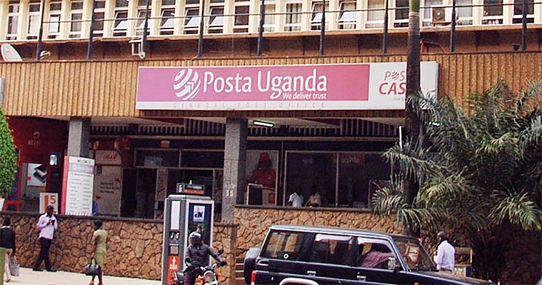
Posta Uganda
Posta Uganda Limited is seeking parliamentary approval of UGX5Bn to undertake nationwide mapping of all locations in Uganda.
This is aimed at ending the practice of Ugandans giving directions using landmarks like trees, schools, shops in order to enable Uganda get access to the Global Position System (GPS).
The request was made by Iddi Isabirye, Vice Chairperson, Parliament’s Committee on ICT, while appearing before the Budget Committee on 28th January 2026, to present his committee’s report of the 2026/27 National Budget Framework Paper for the digital transformation programme.
“Posta Uganda is implementing a national address system through geocoded national addresses and post code system. They require only UGX5Bn to operationalise the system, but only UGX280Million has been provided thus leaving a funding gap of UGX4.7Bn. the Committee recommends that UGX4.7Bn be provided to Posta Uganda to enable the operationalisation of the geocoded national addressing,” Isabirye explained.
This prompted Patrick Isiagi (Kachumbala County) to ask for clarification on what this money would do to which Isabirye noted, “If you wanted to direct me to your home in Kampala, one would say, go like this, there is a big tree, under the tree, there is another corner here, but now, in other countries, only this address coding can guide anyone to locate your home.”
However, Isiagi further asked why Posta Uganda would commit funds to such a project yet at the moment, people are able to send locations via social media apps remarking, “You mean we don’t have that? But I have seen people here say, send location and we send location on WhatsApp, haven’t we been doing that? Is it different from that?”
Moses Magogo (Budiope East) explained to the Budget Committee that technically, for a country to be able to use the Global Position System (GPS), there is need for that nation to map itself, and this requires inserting in codes that will point users to particular locations.
“What is happening is that if that system is developed, it will direct you to the physical location, so what Posta wants to do is to map such that every point has an address such that even if you bought goods, they can be delivered to that physical address or even if you put in the GPS, it can direct you to that address. Many countries have sone it and as a country sincerely speaking, we haven’t done it,” said Magoto.